LegendBurster
New
Presentations:
Building Knowledge Interoperability
into GIS -
Addressing the Language Challenge
Presentation to ESRI Regional User
Conference, Vancouver, October 2004
Integrating Knowledge Representation
into GIS ESRI UC, San Diego, Aug 2004
LegendBurster is the
first commercial system in the world to provide Semantic Net functionality in a
modern GIS
environment.
Semantic Nets provide
a more flexible representation of point, line and polygon attributes than
flat database tables, and, depending on the data, often permit
significantly more powerful querying capabilities than standard SQL.
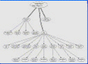
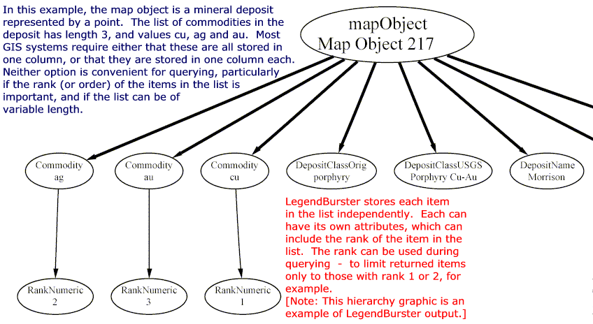
LegendBurster Semantic Nets are ideally suited for the management of:
-
Hierarchically
structured information, such as scientific classification systems
<
View Example
>
-
Open-ended lists of attribute values
<
View Example>
-
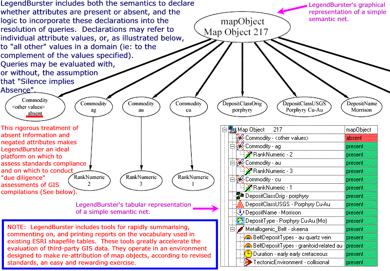
Features which are explicitly negated or declared to
be absent <Explanation>
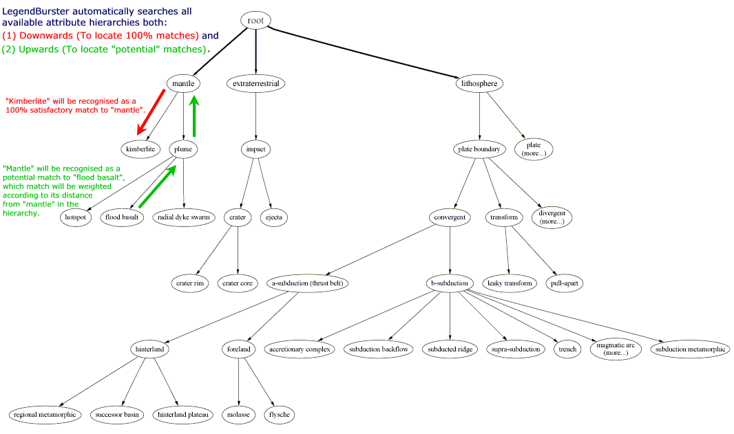
LegendBurster query
results include scored partial matches in addition to exact query matches -
often a critical advantage during exploratory data analysis <Example>. Weightings
for the partial matches take into account the three data management issues
mentioned above in a fully-auditable manner which includes an interactive
explanation facility <Example>.
Results-weighting
algorithms are explained in a paper downloadble from this web site. <
Read more ....
>
LegendBurster is
built around ESRI’s MapObjects technology. It is available in
versions ranging from a free Reader, which can view LegendBurster
ontologies, semantic net descriptions and query results, to
the most powerful "ArcGIS 8.x Add-In" edition, which can edit semantic
nets and line-work.
LegendBurster
includes a powerful Ontology Editor which allows for the development and
exchange of standardized vocabularies in any discipline - an
essential requirement for interoperable datasets.
Related Info
. |
Using Hierarchical Structure to add
Value to Maps
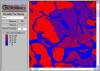
Canadian Soils Case Study
Click on the Wellington, Ontario soils map below to view our latest
example of LegendBurster applications.
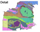
Canadian Geology Case Study
Click on the geological map (Milton Island area,
Saskatchewan) below to view illustrations of how LegendBurster is
used to analyse, represent, query and explain
complex map-attribute data.
British Geology Case Study
Click on the geological map of North-East Cornwall
below to see how LegendBurster adds value to maps using the 1999
hierarchical
Rock
Classification System of the British Geological Survey.
Free Download
Although still used in-house for consulting assignements,
LegendBurster™ has been withdrawn from the market
while its reasoning engine is being upgraded to conform to the emerging
standards of the
Semantic Web, and while it is being re-designd to operate
independently of any single proprietary GIS system.
Until ESRI's upgrade of ArcGIS to Version 9, which was incompatible
with Add-Ins developed for 8.3, LegendBurster used to be sold at
the following prices:
|
Version |
Price* (Canada$/US$ ) |
| Standalone |
C$600 |
~US$400 |
| ArcGIS 8x Add-In |
C$1200 |
~ US$800 |
For historical interest only, the previously marketed versions of
LegendBurster can be downloaded by clicking on the Free Trial button
in the left margin of this page.
Other Case Studies
The following case study data set may be downloaded from this web site:
- Mineral Deposits of Far Eastern Russia, Alaska and the Canadian
Cordillera [Read more ...]
System Documentation
Comprehensive
HELP Documentation internal to the program is complemented by a
animated tutorial, which may also be viewed as a Flash
Animation on this web site.
The details of the LegendBurster matching algorithms are explained
here.
|

