GeoreferenceOnline.com


“After climbing a great hill, one only finds that there are many more hills to climb.” Nelson Mandela (1995)


© Georeference Online Ltd
Welcome
Expertise, Services, Products and Research for the Minerals Industry
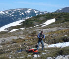
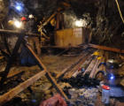
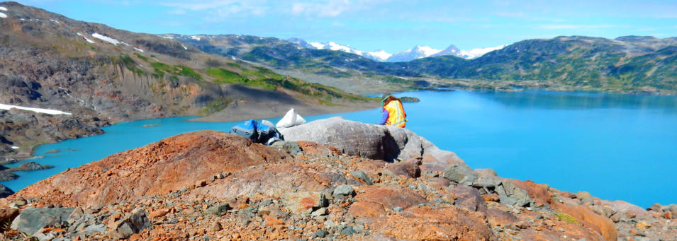
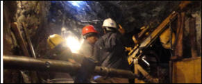
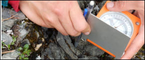
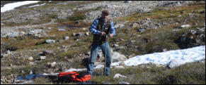
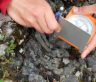
Georeference Online Ltd.is a Vancouver-based company providing scientific, management and software services to the minerals industry since 2000. Our directors, staff, associates and contractors have contributed to many and diverse projects on three continents, involving multiple commodities, using a range of technologies. We have also engaged in extensive research and development in the field of artificial intelligence, knowledge representation, and the application of these fields to minerals exploration. In 2017, Georeference Online Ltd. sold its artificial intelligence software and intellectual property to Minerva Intelligence Inc. In 2022 Minerva sold its economic geology software and development team to Bentley Systems for incorporation into Seequent’s LeapFrog system. We invite you to peruse our website, and to contact us should any of our services, products or research endeavours be of interest to you. A list of selected publications by Georeference Online Ltd. staff is presented on this page.


GeoreferenceOnline.com


© Georeference Online Ltd.
Welcome
Expertise, Services,
Products and Research for
the Minerals Industry
Georeference Online Ltd.is a Vancouver-based company providing scientific, management and software services to the minerals industry since 2000. Our directors, staff, associates and contractors have contributed to many and diverse projects on three continents, involving multiple commodities, using a range of technologies. We have also engaged in extensive research and development in the field of artificial intelligence, knowledge representation, and the application of these fields to minerals exploration. In 2017, Georeference Online Ltd. sold its artificial intelligence software and intellectual property to Minerva Intelligence Inc. In 2022 Minerva sold its economic geology software and development team to Bentley Systems for incorporation into Seequent’s LeapFrog system. We invite you to peruse our website, and to contact us should any of our services, products or research endeavours be of interest to you. A list of selected publications by Georeference Online Ltd. staff is presented on this page.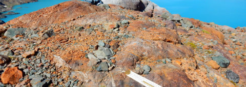
“After climbing a great hill, one only finds that there are many more hills to climb.” Nelson Mandela (1995)